
What can a sacred mountain in Mauritius, a historic fort on the coast of The Gambia, a coastal heritage place in Egypt and the living rice-terrace landscapes of Madagascar teach us about responding to climate change and disaster risk?
The answer starts with place. Understanding its landscape, heritage, people, environment and the knowledge already there was at the heart of ASILI’s first practical step: the Online Orientation and Foundational Training for Site-Specific Context Analysis, held from 24 to 31 August 2026 for 20 participants from four partner sites – laying the groundwork for climate and disaster risk analysis.
Four places, four partnerships, one shared starting point
ASILI is working with four teams across four distinct heritage places, each supported by a different combination of institutional, local and community partners.
- Egypt: Citadel of Qaitbay, Rosetta (Rashid), in partnership with the Egyptian Heritage Rescue Foundation (EHRF), in collaboration with the Egyptian Ministry of Tourism and Antiquities.
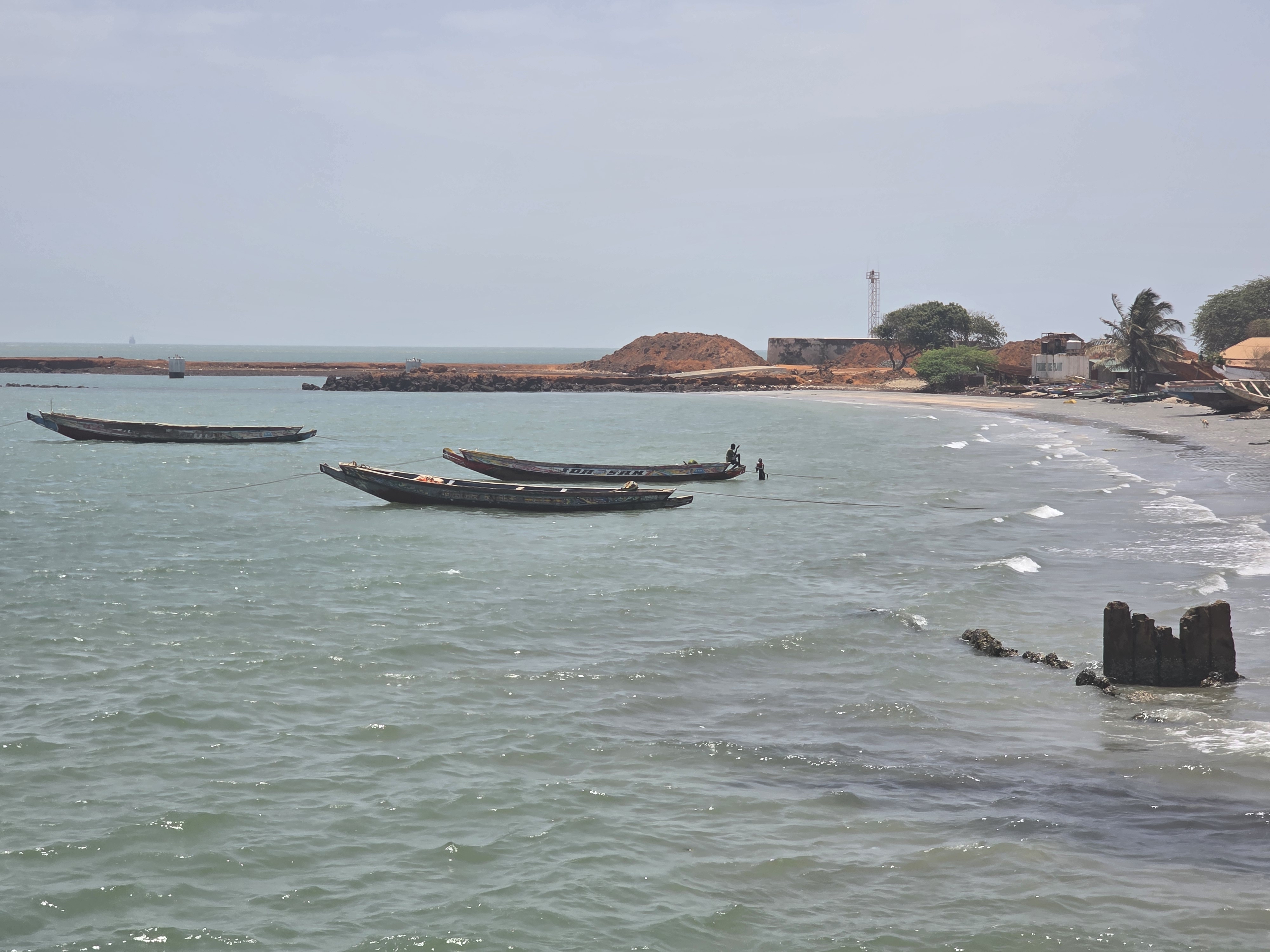
- The Gambia: Fort Bullen in the Kunta Kinteh Island Region, in partnership with the National Centre for Arts and Culture (NCAC).
- Mauritius: Le Morne Cultural Landscape, the sacred and deeply symbolic mountain and its surrounding landscape, in partnership with the Le Morne Heritage Trust Fund, under the Ministry of Arts and Cultural Heritage of Mauritius.
- Madagascar: Betsileo rice terrace communities around Andringitra National Park, Fianarantsoa, in partnership with Jeunes Actifs pour le Développement Durable (JADD Madagascar), local authorities and communities.


Together, the four partner-site teams bring expertise spanning heritage management, conservation, climate action, cultural policy, documentation, education, administration, community engagement and local development.
That multidisciplinary mix is central to ASILI's approach: climate and disaster risk cannot be understood, or acted upon, from a single discipline or institution. Bringing these perspectives together provided the foundation for a common approach to understanding each site.
Starting with place, not the solutionLed by ICCROM staff and external resource persons, the training introcduced participants to heritage significance and cultural landscapes, disaster risk reduction, climate action, participatory mapping and GIS, local and Indigenous knowledge, documentation and community-based approaches.Rather than starting with predetermined solutions, the teams started by asking what is already known about their sites – and what still needs to be understood.
Across the sessions, they examined heritage significance, geography and landscape, changing land use, climate hazards and impacts, socio-cultural and economic systems, oral histories, local and Indigenous knowledge and participatory mapping and GIS.
Site teams were encouraged to exchange evidence as well as lived experience: memories of past floods, cyclones, droughts or other emergencies; changes observed in landscapes and ecosystems; changing livelihood patterns; traditional ways of managing water, soils and vegetation; community networks; and knowledge that has helped people anticipate, cope with or recover from difficult times.
Mapping knowledge that often remains invisible
At each site, teams will work with communities to map water systems, ecosystems, livelihood areas, culturally significant places, hazard pathways and community resources.
Oral histories will add another layer, documenting experiences of environmental change, past emergencies and locally developed ways of managing land, water and other resources.
Together, these different forms of evidence can reveal more than where risks are concentrated. They can also show the knowledge, practices and capacities that communities already draw on to respond to change.
This is what underpins ASILI’s approach: understanding vulnerability alongside existing capacity, and connecting climate and disaster risk analysis with the knowledge and practices rooted in each place.
What comes next
The training now moves from the virtual classroom into the field. Each partner team will develop a four-layer context analysis - building one connected picture of the place, the pressures it faces and the capacities that can support its resilience. The analysis will examine:
- Layer 1 - Place, landscape and significance |Geography, water systems, ecosystems, connections and heritage significance surrounding communities.
- Layer 2 - Land use and changing development | Changes in land use, settlements, infrastructure, agriculture, tourism and development, and their relationship with hazards.
- Layer 3 - Climate change, hazards and impacts | Climate change, historical events and future projections and their potential impacts on heritage, ecosystems, livelihoods and community life.
- Layer 4 - People, knowledge, governance and livelihoods | Social relationships, governance, preparedness, livelihoods, community networks and local knowledge and capacities.
From analysis to action
The context analysis will provide the foundation for the next phase of ASILI, with each partner team conducting a comprehensive climate and disaster risk assessment.
These assessments will help identify where action is most needed and where heritage, community knowledge and existing local capacities can contribute to locally grounded solutions
From the sacred mountain of Le Morne to the Betsileo rice terraces, Fort Bullen and the Citadel of Qaitbay, the process begins in the same way: by understanding each place on its own terms – connecting evidence with lived experience before moving from analysis to action.
ASILI - An Iteration of ICCROM's Net Zero - Heritage for Climate Action in Africa - is conceived within ICCROM's FAR Programme Delivery Mechanism and aligned with ICCROM Strategic Plan and its CARE vision. Supported by the ALIPH Foundation.